|
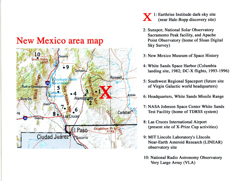
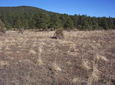
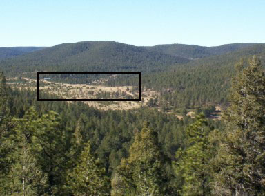
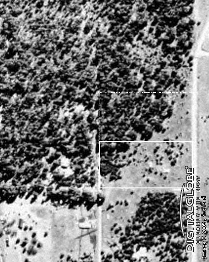
The site for the Earthrise dark-sky site is located in southern New Mexico -- a region renowned for its astronomical and space activity -- some 17 miles (27 km) east of Cloudcroft, in an area known as 16 Springs Canyon. It is within the boundaries of the Lincoln National Forest, at an elevation of 7300 feet (2200 meters). It features an open meadow environment that is ideal for astronomical observations, although a portion of the site is forested, providing an aesthetic mountain environment. The northern boundary of the Earthrise site is within 100 meters of the site from which Comet Hale-Bopp was discovered in July 1995.
ADDED JUNE 5, 2010: The property for this site was originally purchased by the Earthrise Institute in 2004, however due to financial reasons we were never able to develop it as we had originally planned. As a result of this and other considerations, Earthrise Institute President Alan Hale purchased it from the Institute in early 2010. It remains an excellent site for astronomical observations, and we are continuing with planning and development of it as we work to fulfill the Earthrise Institute's mission. Stay tuned!
|
|
|
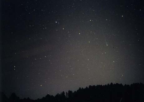
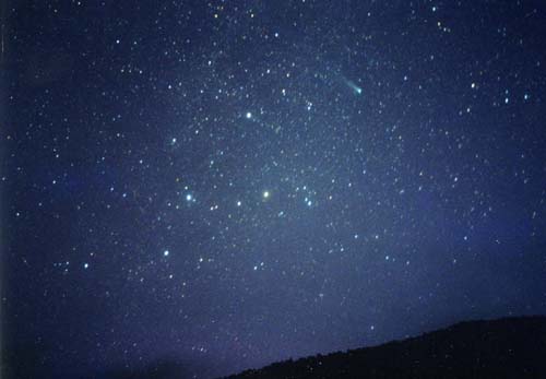
| These two photographs of Comet Ikeya-Zhang taken in early 2002 from the Earthrise site illustrate the dark skies that are prevalent there. LEFT: March 9, 2002, evening sky, looking west. The zodiacal light stands out plainly to the left of the comet. RIGHT: April 13, 2002, morning sky, looking northeast. The constellation of Cassiopeia is visible below and to the left of the comet. |
|
|